

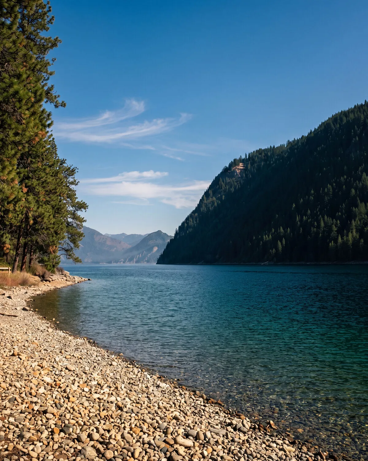
Near Farragut State Park
Land and homes within minutes of 4,000 acres of park on Lake Pend Oreille.
- Park
- 4,000 acres
- Trails
- 40+ miles
- The lake
- Pend Oreille, 1,150 ft deep
Some people buy land near a golf course. The better version of that idea, to our eye, is buying land near Farragut State Park: 4,000 acres of timber and shoreline on the south end of Lake Pend Oreille, laced with more than 40 miles of trails you didn’t have to build, don’t have to maintain, and will never see subdivided. It’s the amenity that doesn’t depreciate.
The park has a past worth knowing. During World War II this ground was the Farragut Naval Training Station, and the bones of it are still legible in the road grid and the old brig — now a museum in Bayview. Sailors trained here because of the water: Lake Pend Oreille is 1,150 feet deep, genuinely ocean-like, and the Navy never left. The Acoustic Research Detachment at Bayview still tests large-scale submarine models in the lake today, which means the local kids grow up somewhere the Navy quietly does submarine research in the backyard — Athol Elementary students once got to name one of the test models. They chose “Cutthroat,” after the trout. That’s the kind of place this is.
What living near it is like. The towns and land around the park — Athol to the west, Bayview on the water — are the quiet end of Kootenai County. Hwy 54 runs straight from US-95 to the park entrance, so “near Farragut” in practice means the park is a standing part of your week: trails before work, the swim beaches in July, the boat launch on a Saturday, disc golf and snowshoeing in the shoulder seasons. You stop planning trips to it and start just going.
The land side of the equation. Parcels out here run larger and quieter than the county average — timbered acreage and building sites where the park effectively extends your backyard without extending your property taxes. The practical footings hold up too: the public roads in the corridor are plowed by Lakes Highway District, and Coeur d’Alene and Sandpoint are each under half an hour from the Clagstone area, so proximity to the park doesn’t cost you the towns.
The development to know: Clagstone Country Estates
About five miles west of the park, off Hwy 54, sits Joe’s own development — Clagstone Country Estates, fifty-eight homesites of six acres, give or take, on public plowed roads. From there Farragut is a few minutes east, and Sandpoint is an honest 28-minute drive. On the development’s other side lies Clagstone Meadows: 13,169 acres of Stimson timber under a permanent conservation easement, most of it open to non-motorized public access since 2017 through four designated gates, with Idaho Fish and Game administering access. Park to the east, protected timber to the west — the land around you already has its future decided, and the decision was trees.
Read about Clagstone Country Estates →
Or search current listings around Athol, Bayview, and the Farragut corridor — and if you want to test the “ten minutes to the trailhead” claim, we’ll drive it with you.