

Lots & Land
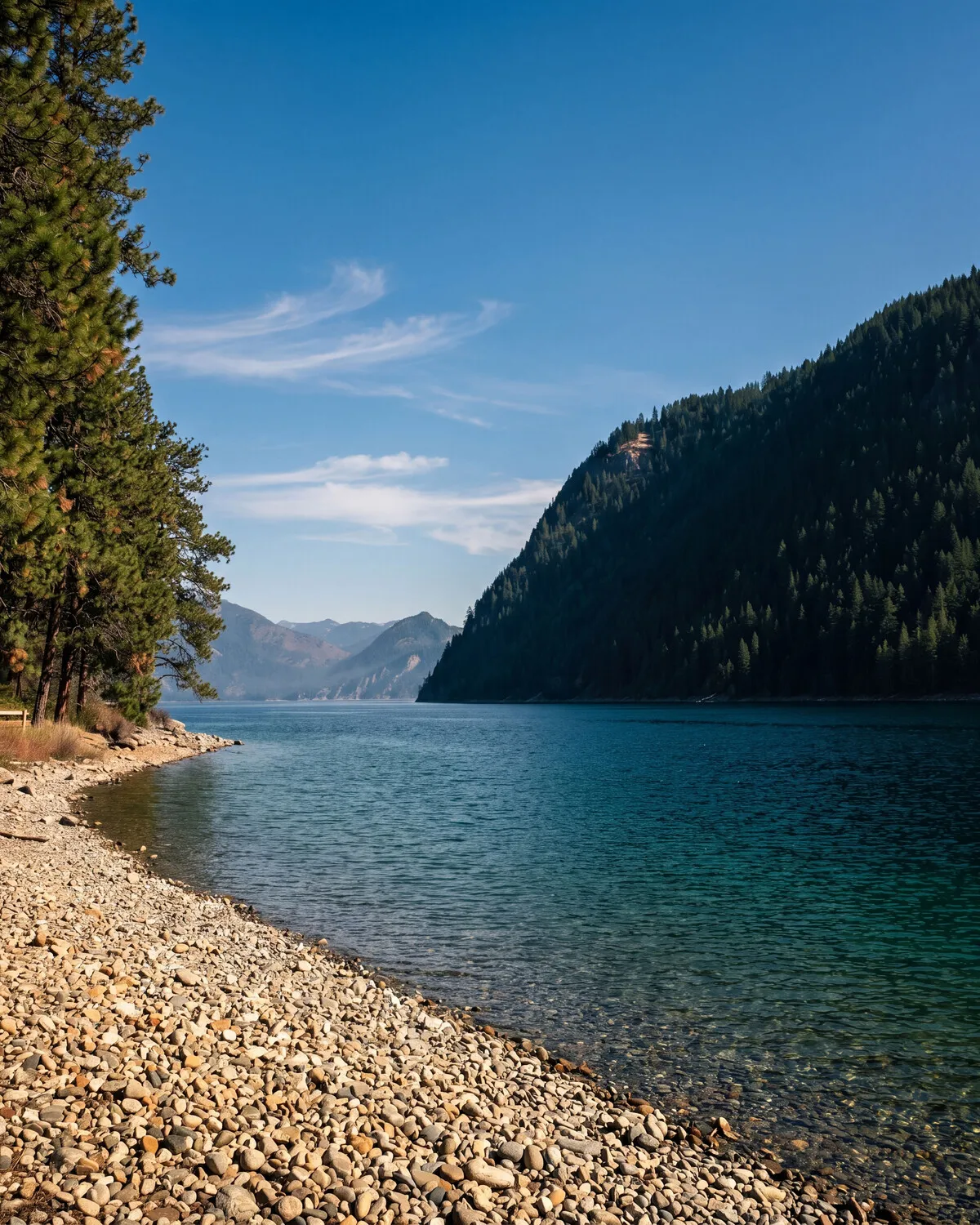
Build sites, timber tracts, and acreage, where the family story started.
- Specialty
- Land of every shape
- Heritage
- 100+ years working land
- Range
- 0.25-acre lots → 200+ acre tracts
- Counties we work
- Kootenai, Bonner, Shoshone
- Typical due diligence
- 30–45 days
- Downtown Coeur d’Alene 35–45 min From a north-county starting point (Clagstone / Athol area)
- Sandpoint 35–45 min
- Spokane Int’l Airport (GEG) 60–75 min
- Silverwood Theme Park 10–15 min
- Farragut State Park 15–25 min
- Kootenai County offices (CDA) 35–45 min Planning, Building, and Assessor, all clustered on Government Way
- Panhandle Health District (CDA) 35–45 min Septic permits, soil evaluations
- Big-R / feed & ranch supply (Hayden) 25–35 min
Land is where we started. Before there was a brokerage there was a family managing timber, leasing ground, and watching how the value of a piece of country accrues slowly, and not the way houses do.
That history is the reason we take lots and land seriously when a lot of brokerages treat them as the leftover category. We’ll walk a property in person. We’ll look at the access, the topography, the water situation, and the trees. We’ll talk through the realities of well and septic, the questions to ask the county, and whether the listing price reflects what’s actually buildable.
If you want the long version of those realities (septic, wells, power, permits, driveways, insurance, and the honest total cost of going from raw acres to an occupied house), we put it on one page: Building on land →.
Where we add the most value:
- Buyers trying to find raw acreage to build on, hunt, or hold, and who want someone who reads the ground, not just the listing photos.
- Sellers of larger tracts who deserve more than a 20-minute drive-by before the property hits the MLS. We’ll talk through subdivision, timber appraisal, easements, and whether your tract is worth more whole or in pieces.
- Investors and developers evaluating site potential, zoning, density, and adjacency.
If you’re sitting on family land and trying to figure out what to do with it, that’s a conversation we’ve had many times, including in our own family. No pressure to list, just an honest read on what the options look like.
Zoning: what the county already decided about your parcel
Every raw parcel comes with a zoning designation, and that designation is the single biggest constraint on what you can build, split, or do commercially. In Kootenai County, most rural ground falls into one of three buckets. Agricultural and Rural both carry a five-acre minimum parcel size and one single-family dwelling per lot, with generous room for shops, livestock, and forestry. Restricted Residential is the denser subdivision zoning you find closer to towns, with lot sizes down to about 8,250 square feet. There are overlays too (wildland-urban interface, aquifer protection, area of city impact around Hayden Lake) that add rules on top of the base zoning.
Bonner County runs to different numbers. Agricultural/Forestry is a twenty-acre minimum. Agricultural is a ten-acre minimum. Rural is currently a five-acre minimum with a proposed update in the works that would change how smaller parcels get treated. If you’re shopping across the county line, this matters: a “rural” lot in Bonner County isn’t necessarily the same rules as a Rural lot in Kootenai County.
The move here is to check zoning before you get emotionally attached to a parcel. We’ll pull the county map, verify overlays, and confirm what’s actually allowed. Listings sometimes describe a parcel’s use aspirationally. We describe it in terms of what the county will actually approve on paper.
Wells and septic: the two rural unknowns
The two biggest question marks on any raw parcel are where the water comes from and where the waste goes.
Wells. If a well is already drilled, the state keeps a well log on file showing depth, casing, static water level, and yield at test. Read it before you write the offer. If the parcel is bare, depth varies dramatically by where you sit. The Rathdrum Prairie Aquifer gives up water at 100 to 200 feet in most of the south county, but push north toward Athol and Clagstone and you can hit 200 to 400 feet in granite-transition zones. Fractured bedrock in the hills goes deeper still, with yields sometimes dropping into the single digits of gallons per minute. Neighbors’ well logs are a starting point, not a promise.
Septic. Panhandle Health District governs subsurface sewage disposal for the five northern counties, and every parcel needs a site evaluation before a permit issues. That means test holes: the property owner brings a track hoe out to dig eight-to-ten-foot pits in the proposed drainfield area, and a PHD specialist watches the soils come out. Sandy prairie soils typically evaluate quickly, and a gravity system might be all you need. Clay pockets, high water table, or shallow bedrock push you into pressurized or mound systems that can cost several times what a gravity system does. If a listing brags about a “septic-approved” lot, we verify: an approval issued years ago against an old design may not translate to what you want to build.
Access and easements: the paperwork question
“Landlocked” is a real category, and it’s not always obvious from a listing. A parcel is landlocked when it has no legal route to a public road. Driving in because the neighbor has always let people through is permissive access, and it evaporates the day the neighbor sells, dies, or puts up a fence. Real access is either frontage on a road maintained by a public highway district, or a deeded easement recorded on the title.
Even with a deeded easement, read the terms. Some easements are for a single family and can’t be shared. Some come with a road maintenance agreement that binds you to a share of grading, plowing, and gravel costs. Some cross seasonal creeks with informal crossings that a serious builder will need to permit. A title commitment tells the story, so we read it with you, and if there’s a road maintenance agreement, we read that too.
Timber: a working asset, not a decoration
If your parcel carries merchantable timber, you own a slowly appreciating asset that also comes with a management calendar. Idaho gives forestland owners with five contiguous acres of stocked timber two property-tax options. The Productivity Tax system taxes the land at about 1% of a productivity value the state calculates each year; you pay no additional tax when you harvest. The Bare Land and Yield Tax system taxes the bare land at a lower rate and applies a 3% yield tax on stumpage value at the time of harvest. Owners with 5,000 acres or more are locked into Productivity; smaller owners choose.
Both options assume you’re actively managing the ground. Assessors periodically inspect for compliance, and if the classification comes off, deferred taxes can be assessed for up to ten years. Good program, real commitments.
For anything over about ten acres of standing timber, we recommend a cruise from a consulting forester before you close. You want a real number for what’s on the ground, not a listing’s round estimate.
The July 2025 well/irrigation law change
Anyone shopping raw land in Idaho needs to understand what happened on July 1, 2025. Senate Bill 1083a narrowed the definition of “domestic use” for a new well down to indoor consumption and stock watering. Outdoor irrigation of lawns, gardens, orchards, and pasture is no longer covered under the domestic-well exemption for wells drilled after that date. Existing wells are grandfathered, and parcels inside surface-water irrigation districts are unaffected. But for a bare parcel where the plan involves drilling a new well and putting anything green in the ground, this is a real conversation to have before you write an offer. We walked through it in more depth here: what changed about wells in Idaho on July 1, 2025.
Seasonal reads
Land shows different things in different months. Winter tells you about snow load on the driveway, whether the road gets plowed, and where the wind cuts through the trees. Spring tells you about drainage. Ground that looks dry in August might sit under standing water in April, and a septic evaluation comes out very differently in a wet spring. Late summer tells you about the fire read: dry fuel loads, defensible space, and how the neighbors keep their ground. Fall is when everything the season revealed comes into focus, and frankly it’s our favorite time to tour raw ground.
If you have the luxury of time, walk a serious parcel in three seasons before you commit. When time is short, we’ll at least drive it in the worst season available and be honest about what we’re not seeing.
Who tends to buy land here
- Buyers who want the house they build, not the house someone else did.
- Families acquiring a hold-for-the-next-generation piece of ground: the cabin site now, the retirement house in fifteen years.
- Working landowners adding to an existing tract for timber, hay, or livestock.
- Hunters who want to lock down a private place to walk in November.
- Investors and developers evaluating a tract for subdivision or a longer hold.
None of those buyers get the same advice. What they share is a need for someone who’ll actually walk the ground, read the title commitment, call the county, and tell them what the listing didn’t.
A current example: Clagstone Country Estates
If you want to see what this kind of land thinking looks like at scale, with fifty-eight homesites of six acres, give or take, thirteen thousand acres of protected timber next door, public plowed roads with paving underway, and gas already in the ground, Joe’s own development is coming soon.
Lots and land on the market.
Updated as they come to market. Search from here or open the full experience on search.kpgidaho.com.
Questions buyers ask about Lots & Land
-
What zone is the parcel in, and what does that actually allow?
In Kootenai County most rural land falls into Agricultural or Rural zoning. Both carry a five-acre minimum parcel size, one single-family dwelling per lot, and generous room for livestock, shops, and forestry. Restricted Residential is the denser subdivision zoning you see closer to towns. Bonner County runs different. Agricultural/Forestry is a twenty-acre minimum, Agricultural is ten, and Rural is currently five with an update in the works. Before you write an offer, we pull the county’s zoning and any overlay districts so you know what you can and can’t do on day one, and we don’t rely on what a listing says.
-
Does the parcel have a well already, or will I need to drill?
Both are common. Existing wells come with a well log the state keeps on file, showing depth, casing, static water level, and yield at test. Bare parcels get drilled after closing, and depth varies a lot by where you sit. South of the prairie, wells often come in around 100–200 feet. Push north into the Clagstone corridor and you can see 200–400 feet in the granite-transition zones. Fractured bedrock in the hills goes deeper still. We walk you through neighbors’ well logs as a starting point, not a guarantee.
-
Will the parcel pass a perc test?
The right term is a site evaluation. Panhandle Health District requires test holes on every parcel. The property owner excavates (usually with a track hoe), and PHD watches the soils come out. Soil type, depth to any restrictive layer, and depth to groundwater are what matter. Sandy prairie soils typically evaluate quickly and cheaply. Clay pockets, high water table, or shallow bedrock push you into pressurized or mound systems that cost multiples of a gravity design. If the site’s a question mark, we get the evaluation scheduled during the inspection period, not after closing.
-
What does “landlocked” mean, and how do I know I have real access?
Landlocked means the parcel has no legal way to reach it from a public road. Permissive access (driving in because the neighbor has always let people through) isn’t legal access, and it evaporates the day the neighbor sells or fences the road. Real access is a deeded easement recorded on the title, or frontage on a public road maintained by a highway district. Before you close, the title commitment tells the story. We read it with you and, if there’s a road maintenance agreement, we read that too.
-
Can I still put in a vegetable garden or a few fruit trees?
Depends on when the well was drilled. Wells drilled before July 1, 2025 are grandfathered under the old rules and can generally water gardens, orchards, and lawns. Wells drilled after that date fall under Idaho’s narrowed domestic-use exemption (indoor plumbing and stock water only, no outdoor irrigation unless you get an IDWR water right). It’s a real change and worth understanding before you commit. Full write-up in the journal at the July 2025 well/irrigation law change.
-
Is the timber worth something, or is it just trees?
Sometimes yes, sometimes no. Merchantable timber on a well-managed stand can offset a meaningful piece of the purchase price at harvest, and Idaho’s Forest Land Productivity or Bare Land & Yield tax classifications can lower your annual property tax while you hold it. But timber is also a working asset. You’re committing to a management plan, an assessor inspection cycle, and deferred-tax consequences if you change use. For anything over about ten acres of standing trees we recommend a cruise from a consulting forester before you close, so you’re buying a real number, not a listing description.
-
When’s the best time of year to walk raw land?
If you have the luxury of time, walk it in three seasons. Winter tells you about snow load, road access, and where the wind cuts. Spring tells you about drainage, mud, and standing water. Late summer tells you about the fire read (dry fuel loads, defensible space, and how the neighbors keep their ground). The parcel that looks great in July can be a different property in March. When time is short, we’ll at least drive it in the worst season available and be honest about what we’re not seeing.
-
What’s the “build-ready” timeline for a raw lot?
From closing on land to a certificate of occupancy on a new house, plan on twelve to twenty-four months once permits and subs are lined up. Site evaluation, septic design and install, well drilling, driveway, power extension, and the county building permit each carry their own queue. If you’re financing the build, the construction lender wants to see a lot of these lined up before they release funds. The building-on-land guide walks through the full stack.
The questions that aren’t specific to Lots & Land, about financing, taxes, and how a deal actually runs here, are answered on the FAQ.