

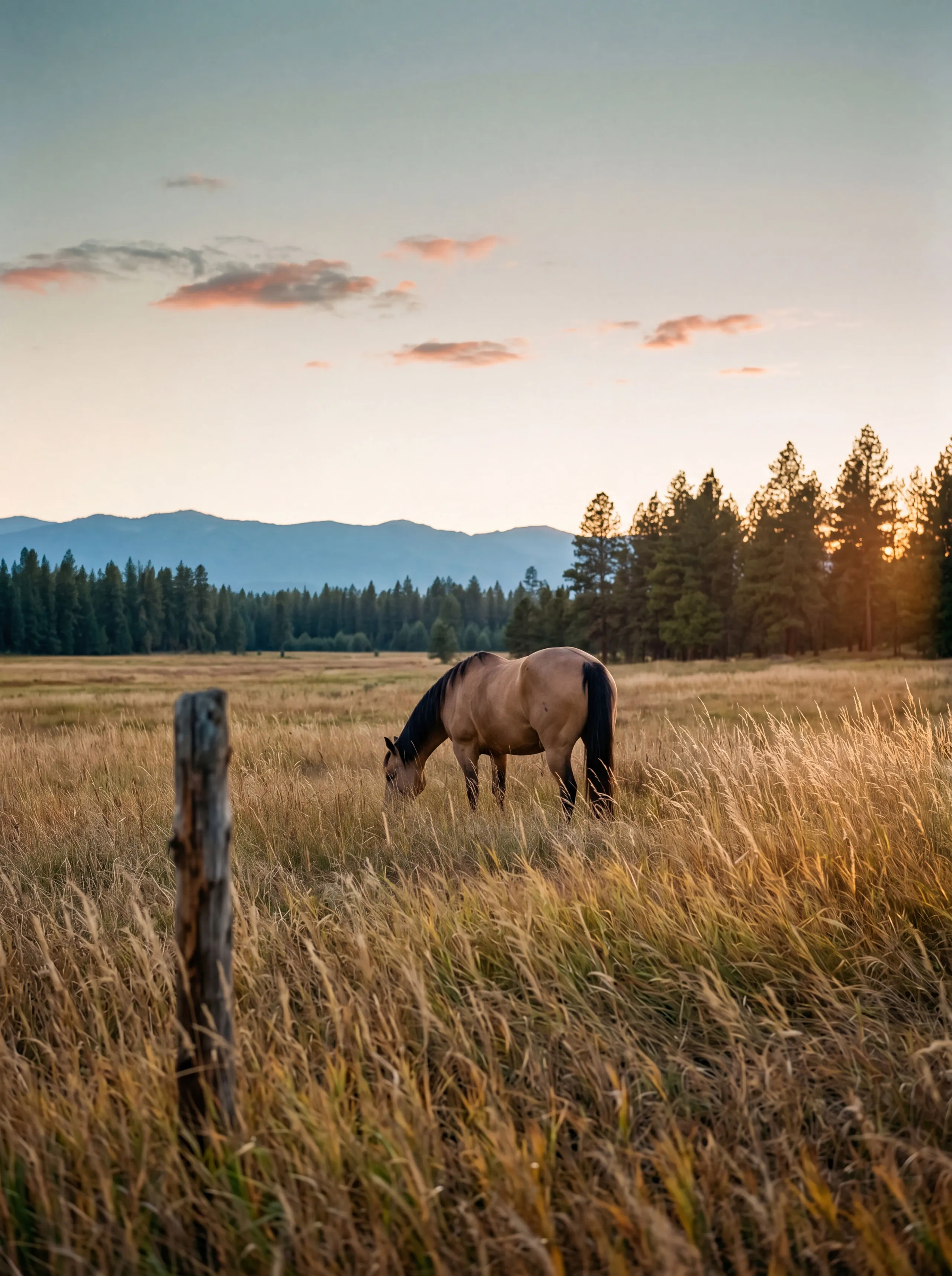
Kootenai County Acreage
Five to ten acres and up, and what buying real ground in the county actually involves.
- Sweet spot
- 5–10 acres
- Water
- Mostly private wells
- Where the quiet is
- The north county
- Zoning to know
- Agricultural, Rural, Restricted Residential
- Downtown Coeur d’Alene (from Rathdrum) 20–25 min
- Downtown Coeur d’Alene (from Athol / Clagstone area) 25–30 min
- Downtown Coeur d’Alene (from rural Post Falls) 15–25 min
- Spokane Valley (from rural Post Falls) 20–30 min
- Sandpoint (from north-county acreage) 45–75 min Clagstone area sits around 28 minutes; deeper timber pushes the hour
- Spokane Int’l Airport (GEG) 45–70 min
Acreage is a different purchase than a house, and Kootenai County acreage is a different purchase than acreage most other places. The county runs from suburban lots on the Rathdrum Prairie to timber tracts where your nearest neighbor is a logging road, and the same “five acres” can mean pasture, rock, slope, or merchantable trees depending on where it sits.
What five to ten acres looks like here. On the prairie side, it’s open ground: pasture, a shop, room for horses, long sightlines. Push north and east and the parcels pick up timber: firs and pines at the edges, then properties that are mostly trees with a building site cut into them. Both are good buys for different people. The questions that matter are the same either way: where’s the access, where’s the water, what’s actually buildable, and what does the county already know about this parcel that you don’t.
Where the acreage actually is
Kootenai County has four distinct acreage corridors, and understanding which one you’re in changes almost every downstream question. That includes the driller you call, the plow bill you may or may not owe, the drive time to a grocery run, and what the resale market will look like when you eventually sell.
Rathdrum Prairie. The high, flat, open ground running from the west edge of Hayden out through Rathdrum toward the state line. Parcels here are more often open pasture than timber, wells are typically the shallowest in the county, and the drive to CDA sits at twenty to twenty-five minutes. This is the corridor with the most inventory in the five-to-ten-acre band, and it’s where most equestrian and small-hay buyers end up.
Rural Post Falls and the west side. Between the city and the state line, south of I-90 and north through Hauser, there’s a band of acreage that puts you inside twenty-five minutes of both downtown CDA and Spokane Valley. Parcels here trade quicker than the north county because the commuting math works both directions. Post Falls Highway District handles the roads.
Athol, Spirit Lake, Twin Lakes, Bayview: the north county. Trade density for quiet. Acreage is more common up here, prices haven’t been marketed to death, and the recreation is closer, not further, with Farragut State Park and Lake Pend Oreille at the top of the county. Lakes Highway District plows the corridor. If the whole point of buying acres is the quiet, this is where the quiet still holds.
East of Coeur d’Alene, toward Fernan and Wolf Lodge. Timber ground with lake and creek drainages threading through it, and a different feel from the prairie: steeper, more trees, longer driveways, harder winters. East Side Highway District handles the county roads out here. Wells go deeper and yields drop; the trade is scenery and privacy the prairie can’t match.
Wells and septic: the two big rural questions
Inside city limits you hook up. Outside, you drill and you install, and those two questions do more to shape the true cost of a parcel than the listing price does.
Wells. Most of the county draws from the Rathdrum Prairie Aquifer, the water source the region lives on. One honest detail we like: the water itself is young, recharging quickly through the gravel the Ice Age floods left behind. Well depth, flow, and cost vary dramatically by where you sit on the prairie. The south end drills shallow and yields hard, while the north end and the bedrock transition east of Hayden go deeper for less flow. If a listing is vague about the well situation, that’s information too.
If you’re looking at raw land where nothing’s been drilled yet, know that Idaho narrowed the domestic-well exemption on July 1, 2025. New wells drilled after that date cover indoor use and stock watering under the exemption, but lawn, garden, orchard, and pasture irrigation now require a separate IDWR water right. The full plain-English version lives at What changed about wells in Idaho on July 1, 2025. Wells drilled before that date keep their existing rights and pass to the new owner.
Septic. Panhandle Health District permits every septic system in the five northern Idaho counties, Kootenai included. A pre-purchase site evaluation (sometimes called a perc test, though the modern process is more than that) is the honest way to know whether a raw parcel will actually support the house you want to build. On land contracts, we generally write in a septic feasibility contingency; if the soils won’t take it, you either walk or renegotiate the price to reflect a mound or pressurized system instead of the gravity system the seller assumed.
The Building on land page carries the full setback tables and the well-depth ranges by corridor if you want the technical reading.
Zoning: agricultural, rural, or restricted residential
Most acreage sits in one of three Kootenai County zones. Agricultural and Rural both carry a five-acre minimum parcel size, allow one single-family dwelling, and permit livestock and forestry. Agricultural largely prohibits further subdivision and asks that a large share of the parcel stay open, while Rural is more permissive on cottage industries, manufactured homes, and future splits. Restricted Residential is higher density and typical subdivision zoning; less relevant if you’re buying five acres and up, more relevant if you’re looking at a platted lot inside a newer subdivision. Older parcels created before January 3, 1973 carry preserved use rights that predate the current code, which occasionally matters on grandfathered small parcels. We pull the actual zoning designation for any parcel you’re serious about before the offer.
Roads: who plows in January
Kootenai County has four independent highway districts, and which one you land in determines whether snow removal shows up on its own or on your credit card. Lakes Highway District handles the north county: Athol, Bayview, Dalton, Hayden, Hayden Lake, Avondale, Twin Lakes, and Spirit Lake. East Side covers everything from the CDA city limits east to the Shoshone County line, and south to the Benewah line, a big footprint with a lot of gravel and dirt mileage. Post Falls Highway District takes the west-side rural corridors. Worley handles the south end.
If your parcel’s driveway comes off a district road, plowing is theirs and you don’t pay a separate winter bill for it. If it comes off a private or HOA-maintained road, you either plow it yourself, share a bill with your neighbors, or write a check to a plow service, and that’s real money in a real winter. This is the first thing to confirm on any acreage listing, because “plowed” without a source is meaningless.
Timber, hay, and what actually happens on these parcels
The romanticized picture of North Idaho acreage isn’t wrong, but the practical version is more varied than the brochure. On a working prairie parcel you might get one or two cuttings of hay, a small horse operation, a kitchen garden, and a shop that pays for itself in what you don’t have to hire out. On a timber parcel you might have merchantable trees, an occasional selective harvest that pays a property-tax bill, and the day-to-day work of thinning, fuel reduction, and defensible space around the house. Small-livestock operations (chickens, a few goats, a couple of horses, a milk cow) are common under Rural zoning at three-quarter-acre minimums.
If your parcel carries real timber, Idaho has property-tax programs for managed timberland that can change the annual cost of holding the ground, and enrollment has consequences when you sell, build, or change use. We won’t quote you thresholds off a webpage; we’ll help you ask the assessor the right questions before you close, not after.
Seasonal notes
- Mud season, March through mid-April. Gravel driveways go to soup as the frost comes out. If you can only tour a property once, don’t make it early April. You won’t learn what you need to learn about the site.
- Snow load. North county roofs get real snow. Late-season storms through March are the norm, and the load rating on an existing structure matters when you’re looking at outbuildings and shops.
- Fire season, July through mid-September. Defensible space is not optional in the timber-edge parcels. It’s an insurance conversation, a building-code conversation, and, in a bad smoke year, a lifestyle conversation.
- The tour window nobody tells you about. Late September through mid-October is the honest month to walk acreage. The bugs are gone, the ground is firm, the sightlines through the trees are as open as they’ll get, and the larch turn gold in the second half of the month. If we can schedule you in that window, we will.
Who Kootenai County acreage really fits
If you want a shop, a garden, room for the dog and maybe a horse, and a driveway long enough that your neighbor isn’t your business, this is the right county for it. If you want the recreation of the region without living on top of the summer traffic that CDA proper carries in July, the north county corridor was made for you. If you want to be inside twenty-five minutes of both a real downtown and a real airport, the Rathdrum Prairie and rural Post Falls corridors are where the math works.
Where acreage stops fitting: if you need walkable groceries, if the driveway plow bill sounds like a nuisance you don’t want to think about, or if the words well contingency and perc test don’t make sense in context yet. Those aren’t deal-breakers; they’re a conversation. That’s what we do before you write an offer, not after.
A worked example: Clagstone Country Estates
When people ask what a done-right acreage community looks like, we point at Joe’s own development near Athol. Clagstone Country Estates is fifty-eight homesites of six acres, give or take, on public roads plowed by Lakes Highway District, so there’s no road association and no plow bill. Adjacent to it, Clagstone Meadows holds 13,169 acres of Stimson timber under a permanent conservation easement, most of it open to non-motorized public access since 2017 through four gates, with Idaho Fish and Game administering the access details. Protected working timber next door is about the best neighbor acreage can have.
See Clagstone Country Estates →
For the full unromantic checklist (septic, power, driveways, permits, and what raw land really costs to turn into a home) read Building on land, then search current acreage listings. When one looks right on paper, we’ll go read the ground.
Five acres and up, on the market.
Updated as they come to market. Search from here or open the full experience on search.kpgidaho.com.
Questions buyers ask about Kootenai County Acreage
-
How much acreage do I actually need for what I want to do?
More parcel-by-parcel than people expect. For a house, a shop, a garden, and space to feel apart from the neighbors, five acres of usable ground gets it done. Add horses or a small hay operation and you’re looking at ten and up, depending on how much of the parcel is buildable versus wet, sloped, or timbered. The number to trust isn’t the deed acreage; it’s the usable acreage after the driveway, the setback lines, the drainfield, and the trees you don’t want to cut come out. We’ll walk it with you and give you the honest tally before you write.
-
What zoning am I likely to be in, and what does it actually allow?
Most acreage in unincorporated Kootenai County sits in one of three zones (Agricultural, Rural, or Restricted Residential). Rural is where most five-to-ten-acre lots land; it allows one single-family dwelling, Class A or B manufactured homes, livestock at a three-quarter-acre minimum, and cottage industries on parcels of two acres or more. Agricultural is similar in density but restricts further subdivision and asks that a large share of the parcel stay open. Restricted Residential is higher-density subdivision zoning. The Building on land page has the fuller breakdown, and we’ll pull the actual zoning designation for any parcel you’re serious about before the offer.
-
Who plows the road in January?
Depends entirely on the parcel. Kootenai County’s public roads are maintained by four independent highway districts. Lakes covers the north county (Athol, Hayden, Bayview, Twin Lakes, Spirit Lake), East Side covers east of CDA out to the Shoshone County line, Post Falls covers the west-side rural corridors, and Worley covers the south end of the county. If your driveway comes off a district road, plowing is theirs. If it comes off a private or HOA-maintained road, plowing is on you or the association, and January bills for that are real money. This is one of the first things we check on a listing.
-
What are wells actually costing right now?
We don’t quote well cost by phone because the range is too wide to be useful. On the south end of the Rathdrum Prairie a well hits water shallow and yields well, and on the northern prairie or up in the fractured bedrock east of Hayden it can go three or four times deeper and yield less. The number that matters is what the drillers are hitting on neighboring parcels right now, and that’s a phone call, not a rule of thumb. Budget generously and put a well contingency in the offer if the parcel doesn’t already have one drilled.
-
What did the 2025 well-law change actually mean for me?
If a well was drilled on the parcel before July 1, 2025, its existing use rights are grandfathered and you inherit them. For a new well drilled after that date, the domestic exemption now covers indoor use and stock watering only, with no lawn, no garden irrigation, no orchard, no pasture on the exemption alone. Any of those outdoor uses on a post-2025 well needs an IDWR water right, which is a separate process. We wrote the plain-English version at What changed about wells in Idaho on July 1, 2025.
-
Is wildfire insurance going to be a problem out here?
It’s a real question in the timber-edge parcels, less of one on the open prairie. Distance to a fire station, ISO rating, and defensible space around the house all move the premium. Insurance carriers have gotten pickier about the Wildland-Urban Interface in the last few years. Some won’t write past a certain distance from a hydrant, others price for it heavily. Get a quote against the actual address before you close, not after.
-
Can I subdivide my acreage later?
Sometimes yes, sometimes no, and the answer sits inside the zoning code and the plat. Agricultural zoning largely prohibits further subdivision. Rural allows it in some cases if minimums are met. Older parcels created before 1973 have their own set of preserved rights. If subdivision potential is part of the purchase thesis, we’ll pull the current code and the plat notes before you write, so the answer isn’t a guess.
The questions that aren’t specific to Kootenai County Acreage, about financing, taxes, and how a deal actually runs here, are answered on the FAQ.